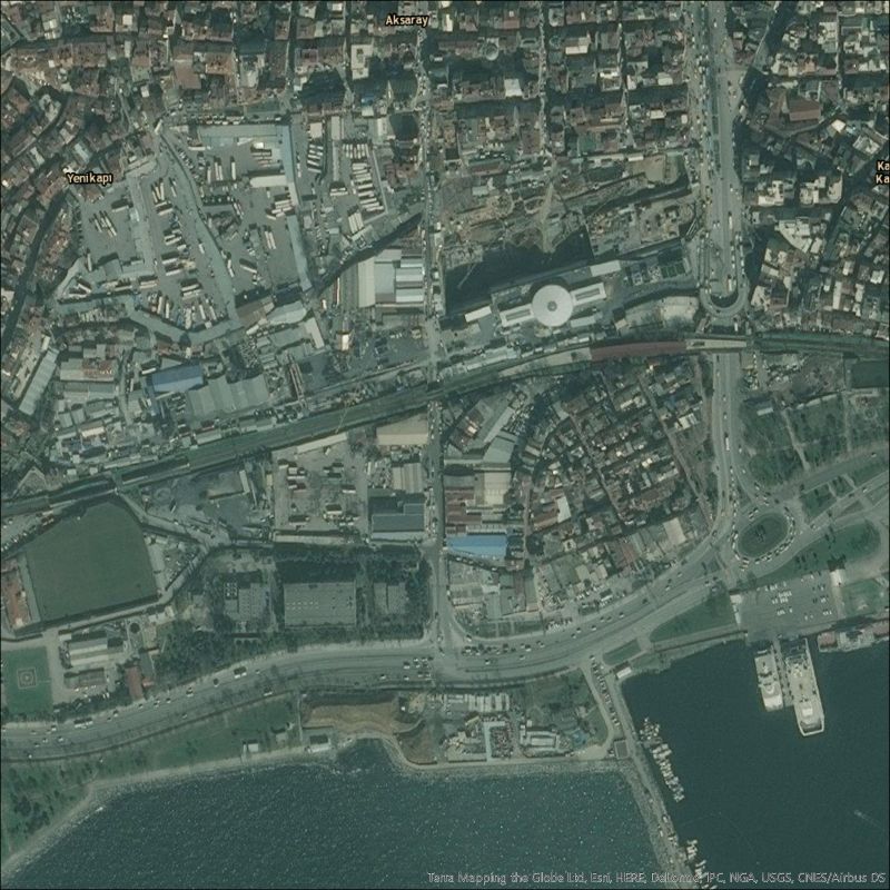
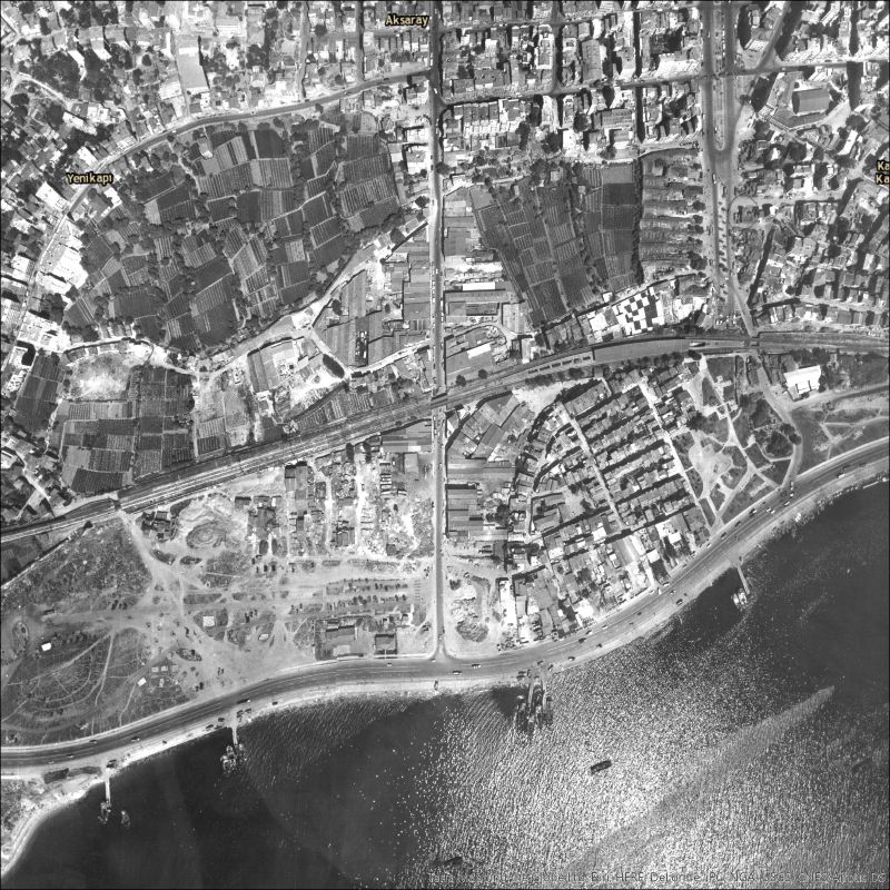
Istanbul’s bostans, with their rows of crops in small plots, are easily recognizable in aerial photographs from 1966. In 2014 I was asked to help the City and Agriculture project map some of the gardens. Using GIS, I gave these photographs geographic coordinates and compared them to modern satellite imagery. The results are stark. The Langa gardens have completely disappeared. In Yedikule, the once sprawling fields have been reduced to isolated patches of cultivation. I also traced the outlines of current gardens in Google Earth and overlaid the results on the old aerial photographs. Of all the bostans that existed in the 60’s, only those in red survive today.
Eli Weaverdyck, University of California, Berkeley.
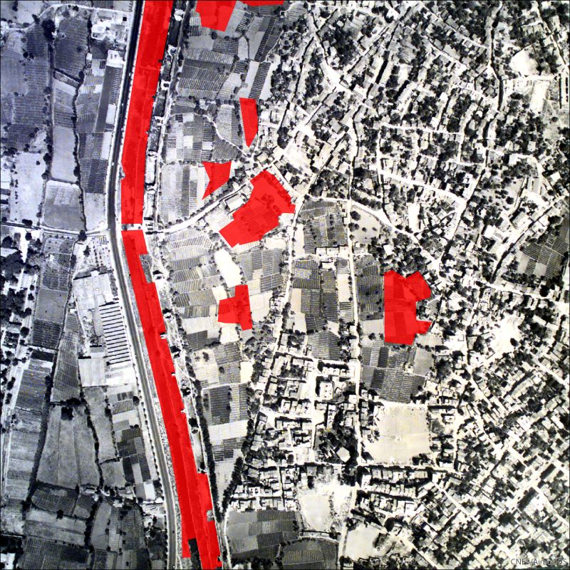
Yedikule bostans in 1966 (only those in red survive today)
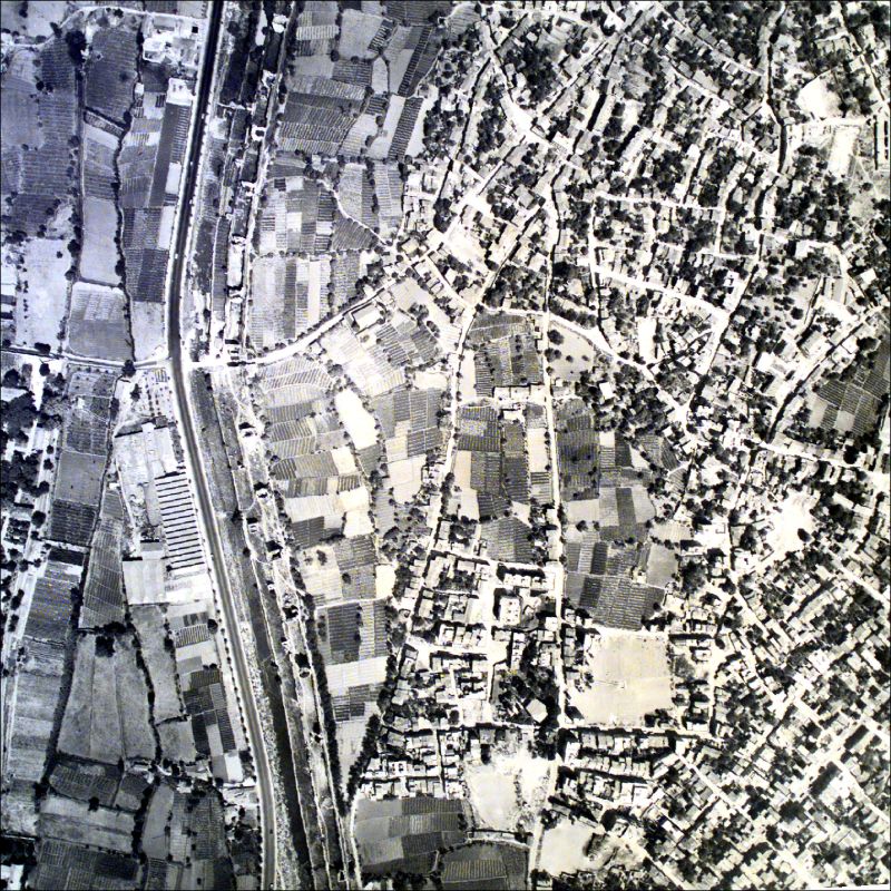
Yedikule bostans in 1966
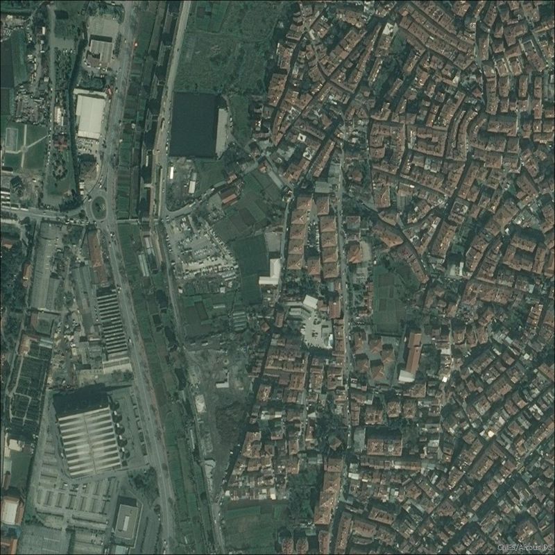
Yedikule bostans in 2012
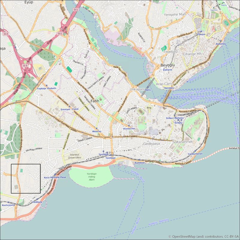
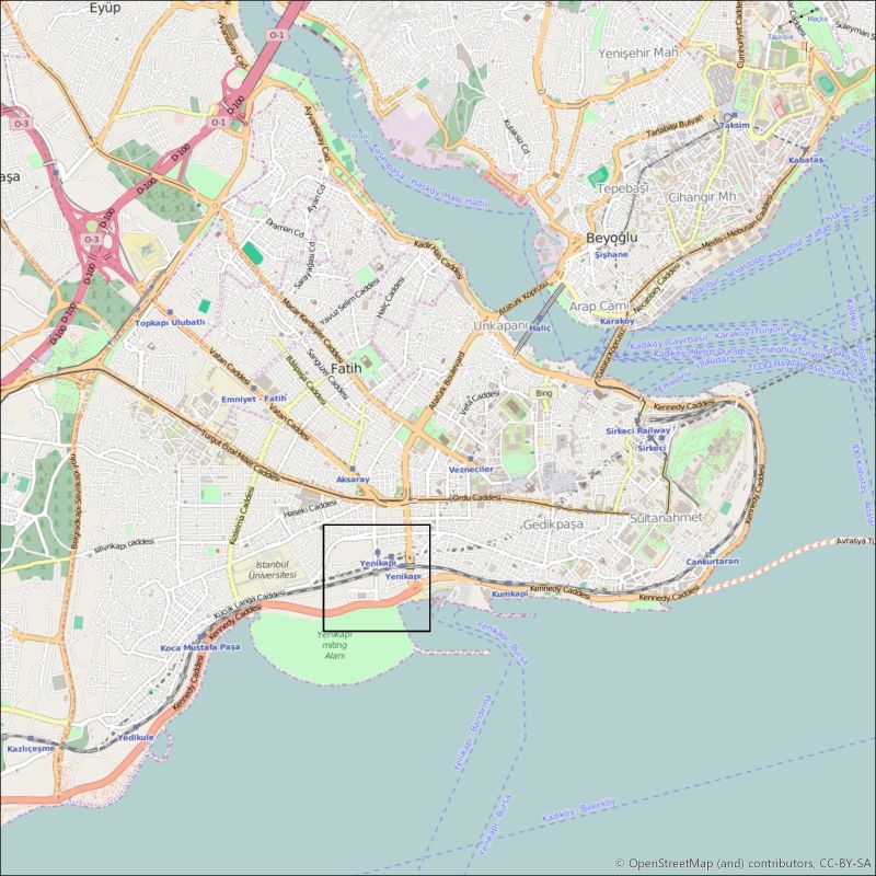
Map of Istanbul with the location of Yedikule
LANGA BOSTANS
Langa bostans in 1966
The area of Langa in 2014